Datasets
Overview
Datasets can be added Manually or via Harvesting
For harvesting, see Harvest section.
Add Dataset
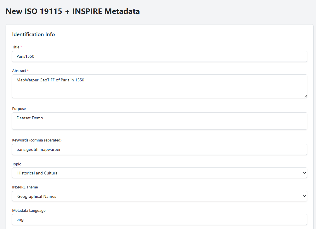
To manually add a dataset, complete the required fields
Click Add Metadata in top menu

Enter the values for Identication Information section
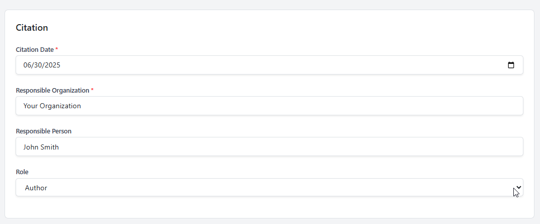
Enter the values for the Citation section
If using a WMS Service, enter the url and click Fetch Layers
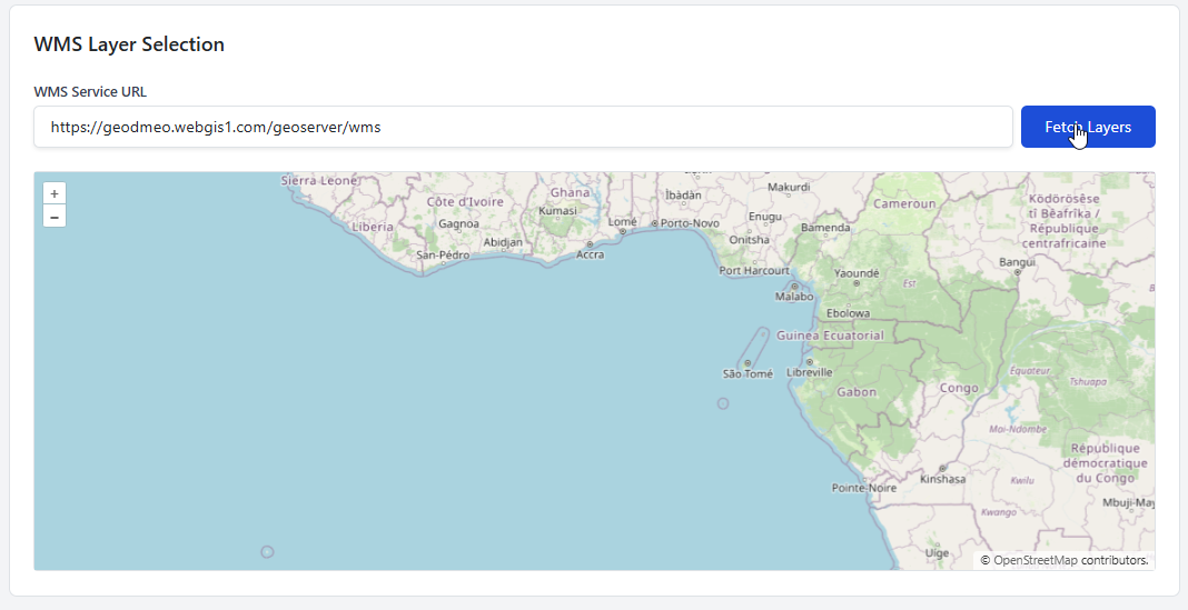
Select layer from dropdown
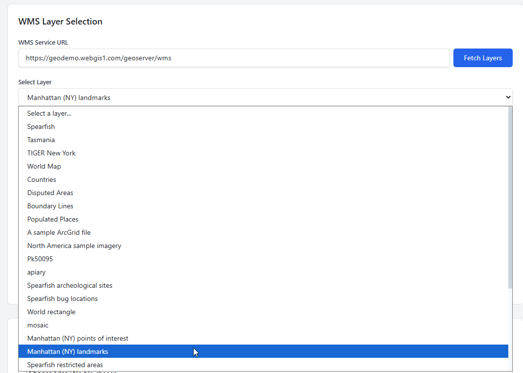
Note that Layer appears and Spatial Extent fields are populated:

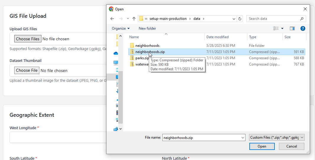
For a GIS Data File, such as GeoPackage, GeoTIFF, Shapefile, etc….
Click Choose File Button
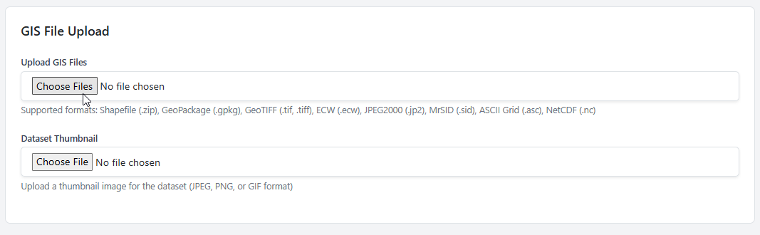
Select the data file you wish to upload
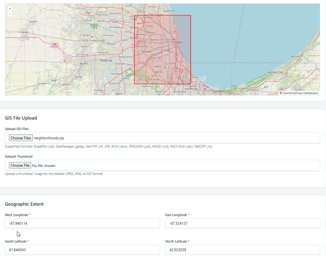
Note that Spatial Extent fields are populated and Bounding Box appears
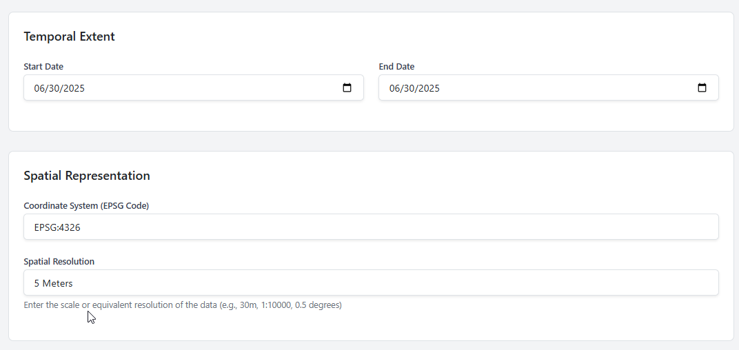
Populate the Temporal Extent and Spatial Representation fields
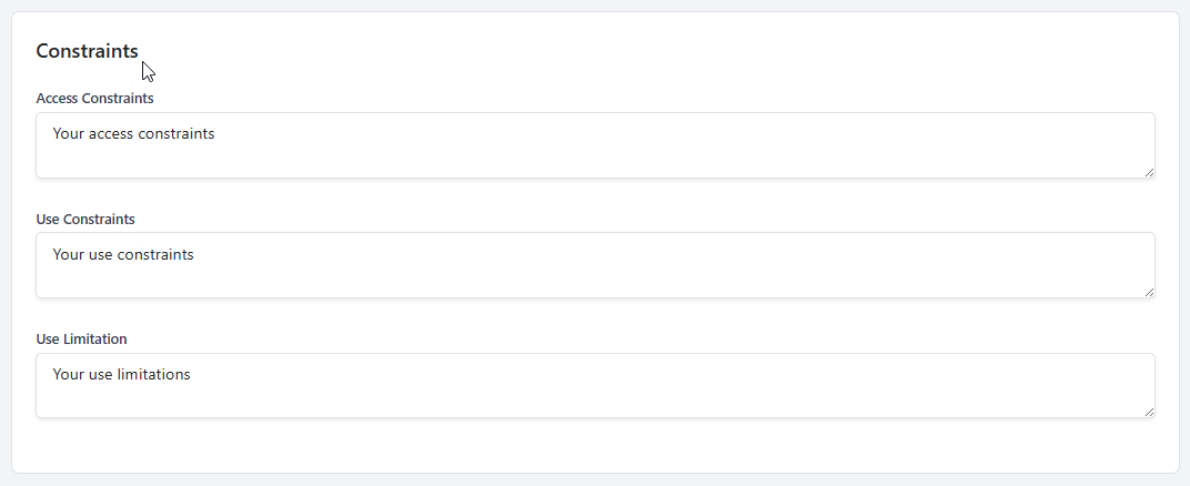
Populate the Constraints fields
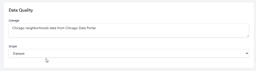
Populate the Data Quality fields
Populate the INSPIRE Metadata fields

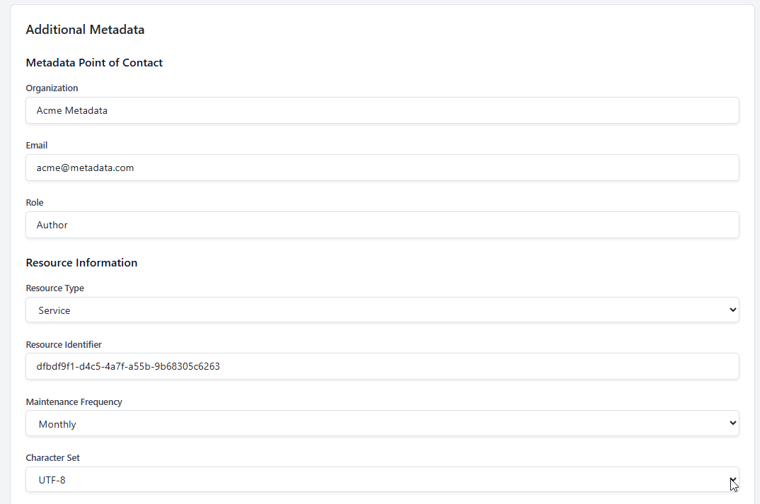
Populate the Additional Metadata fields
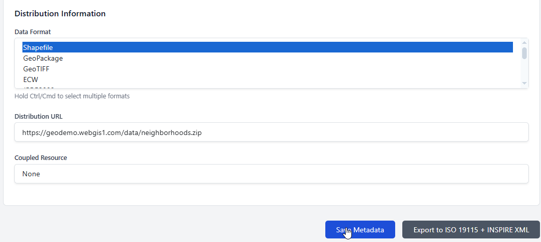
Populate the Distribution Information fields
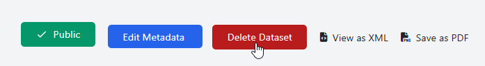
Edit Dataset
To edit a dataset, click the Edit Metadata button
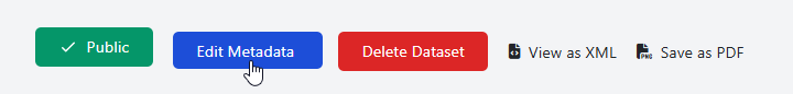
Delete Dataset
To delete a dataset, click the Delete Dataset button